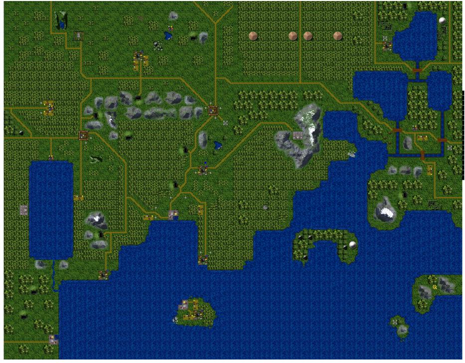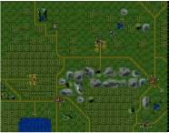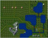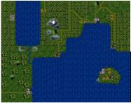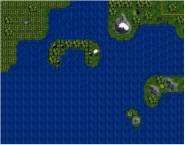
East Axius - Tantallon, Waypoint and surrounding lands.
|
Above is the East Axius region where the #TwistedBlade_Inn and the towns Tantallon, Waypoint, Gensania are located. For a sense of scale the road from the north point of Tantallon leading to the south point of Waypoint is 38 miles long. The map shows how the area looks around 716 AD after Damocles and Dineer filled in the river that was surrounding Tantallon. Due to the sheer size of the map it has been divided into four sectors. On each sector the towns and points of interest are shown. Also stated in brackets ( ) is what nation owns the area and it's population.
|
|
|
|
|
|
The above map was created using Dungeon Crafter
 |
![]()
All Contents are Copyright © 1995-Present, Michael Dodd
Use of this web site constitutes acceptance of the Terms
of Use.